


PATC Map 10 - Appalachian Trail and Shenandoah National Park Central District
PATC Map 10 - Appalachian Trail and Shenandoah National Park Central District
SKU:9780915746699
Out of stock
Regular price
$11.99 USD
Regular price
Sale price
$11.99 USD
Unit price
per
Couldn't load pickup availability
Collapsible content
Description
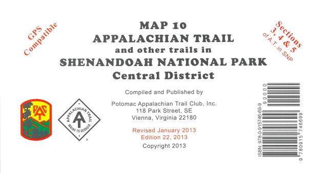
This map covers sections 3 to 5 of the A.T. and all side trails in Shenandoah National Park's Central District.
Details
- Printed on water-resistant and tear-resistant synthetic stock in six colors for excellent detail and durability
- Five-kilometer full UTM grid permits easy plotting or extraction of coordinates for use with GPS units
- On the back side are detailed enlargements of the Skyland, Hawkbill, Lewis Mountain, Big Meadows and South River areas
- Supplies text regarding the Shenandoah National Park
- Portrays side trails and forest access routes from adjoining communities to the Appalachian Trail
- Includes an elevation profile of the Appalachian Trail between Thornton Gap and Swift Run Gap
- Scale of 1:62,500; contour intervals of 100 feet
- Map measures 32 x 23 inches and folds to 8 x 4 inches
- Potomac Appalachian Trail Club; copyright 1995, revised 2000
Made in USA.